Log in
All resources
Create a design
11,660 Free Images of Old Map
atlas de wit 1698
frederick de wit
maps made in the 18th century
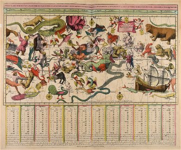
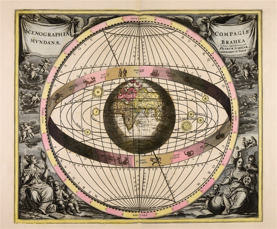
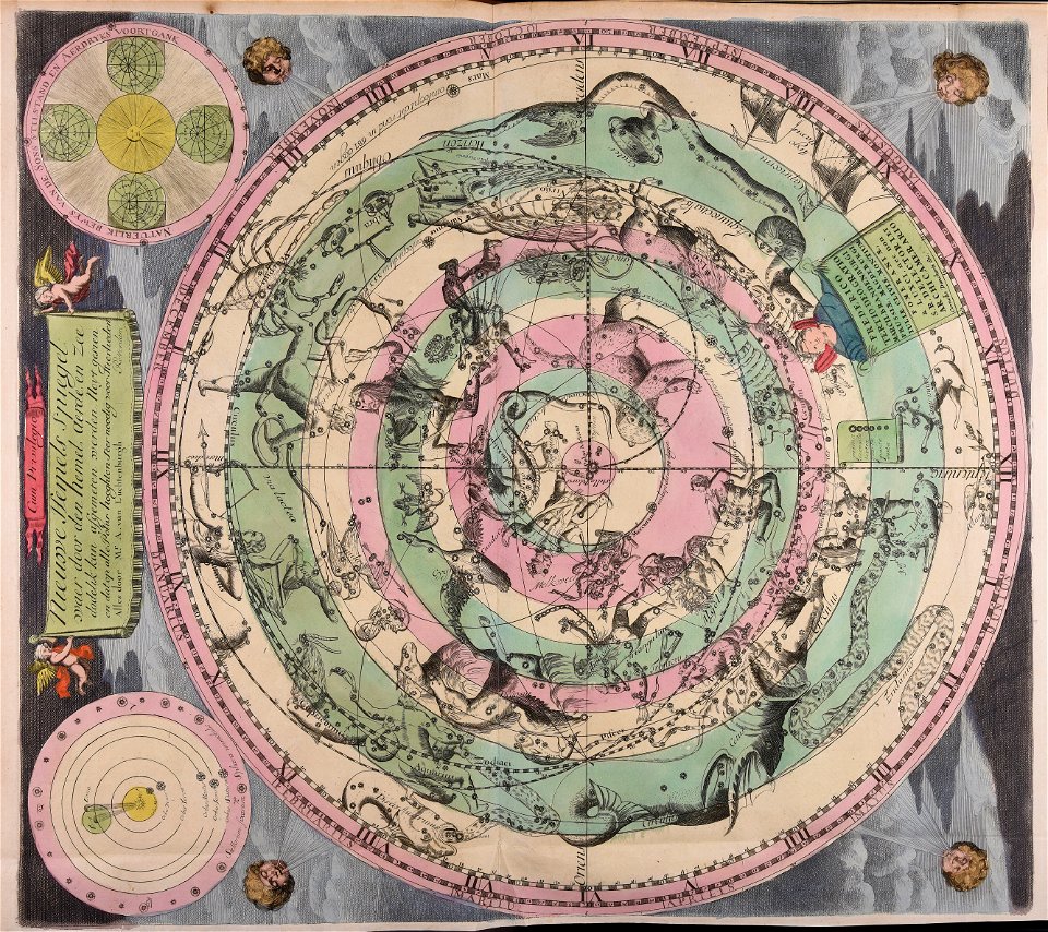
old celestial maps
atlantis magni tomus primus (biblioteca comunale di trento)
fonds ancely - bibliothèque municipale de toulouse - maps
gerard valck
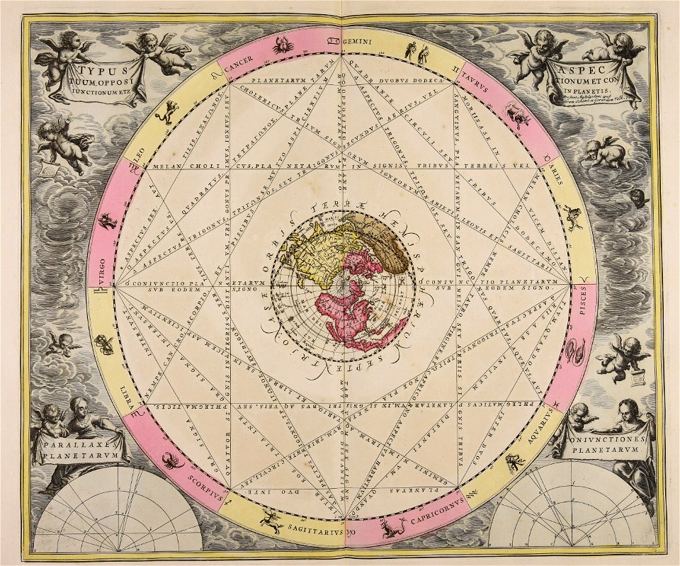
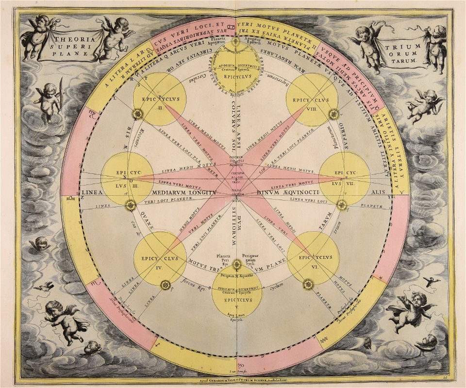
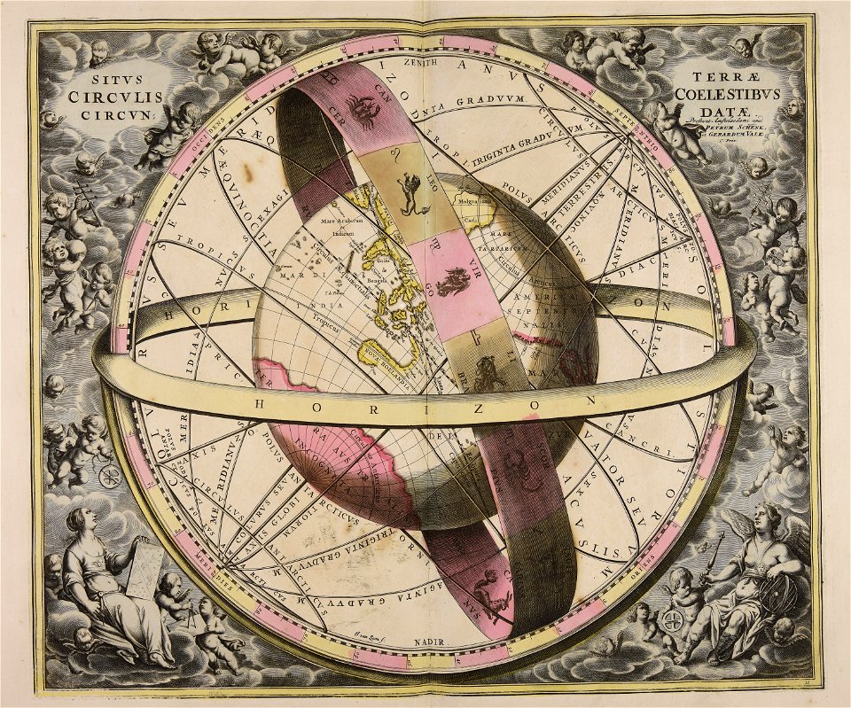
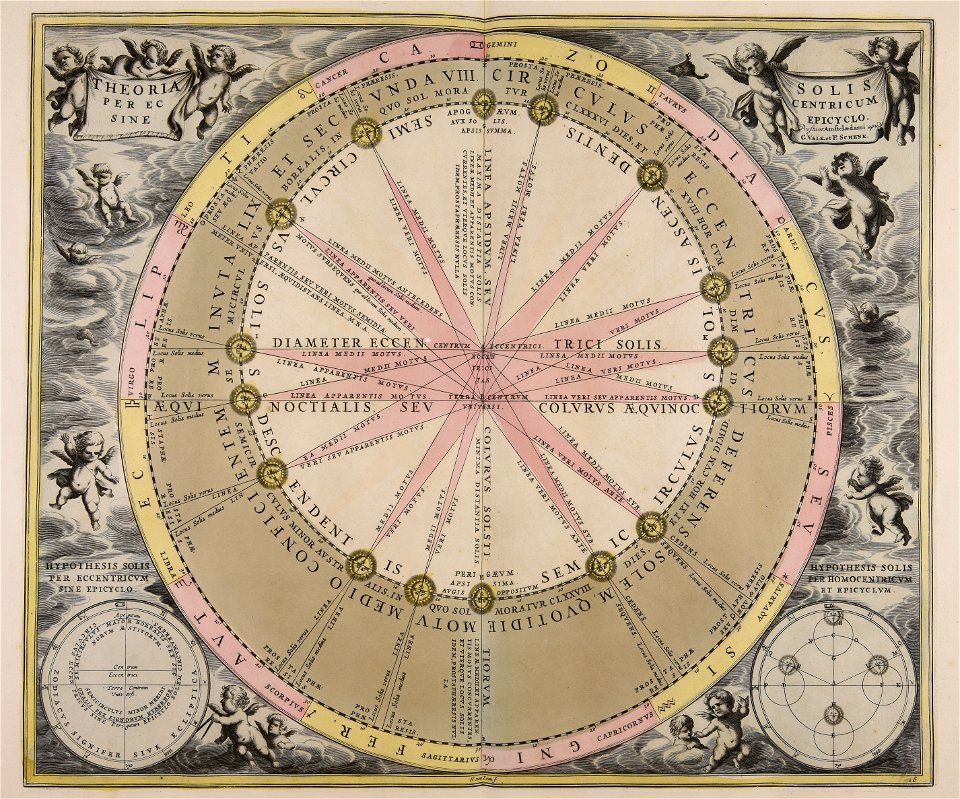
cellarius harmonia macrocosmica
pieter schenk (i)
maps with cartouches
maps made in the 18th century
cornelis danckerts (i)
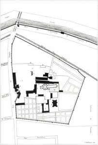
lithographs of paris
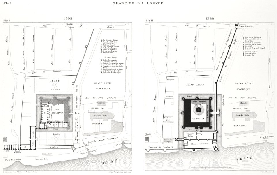
floor plans of paris
maps made in the 18th century
johann baptist homann
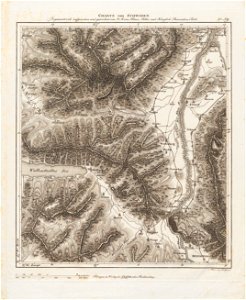
historical images of pyrenees
robert batty (artist)
fonds ancely - bibliothèque municipale de toulouse - maps
roch-ambroise cucurron sicard
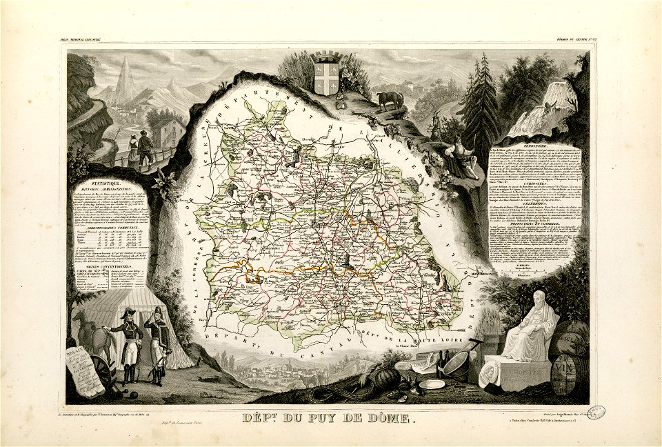
coats of arms of cities in puy-de-dôme
vercingetorix
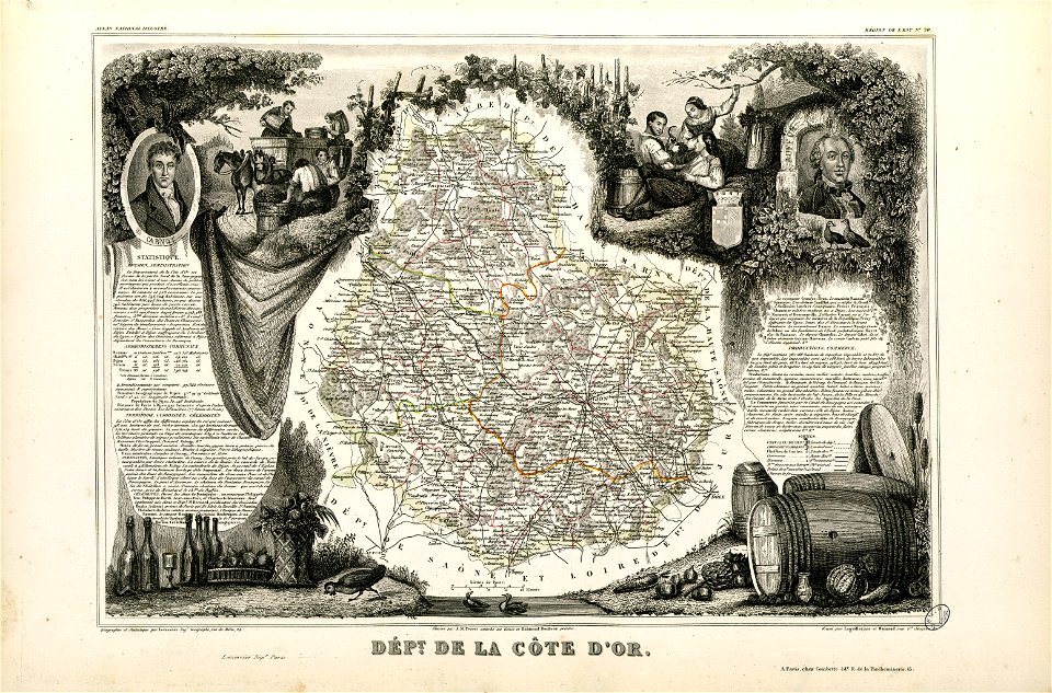
old maps of côte-d'or
lazare carnot
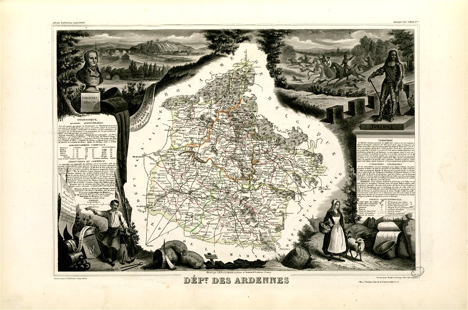
old maps of ardennes (department)
henri de la tour d'auvergne
maps made in the 18th century
gerard valck
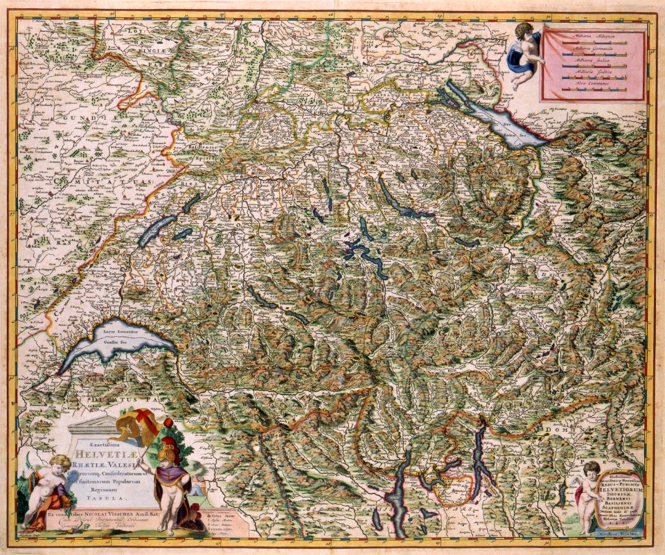
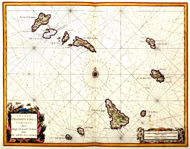
old maps of switzerland
maps with cartouches
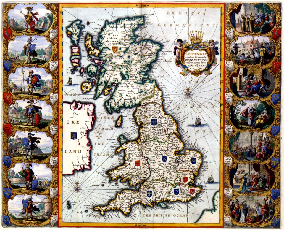
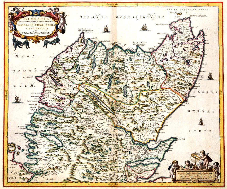
old maps of the british isles
maps with cartouches
old maps of the indian ocean
jan huygen van linschoten
johann baptist homann
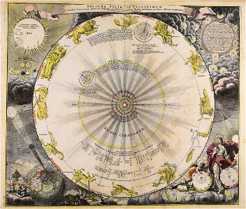
sistema solar
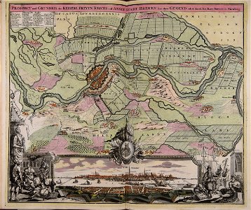
collections of stadtarchiv braunschweig
old maps of braunschweig
printing in the netherlands
asia in the 17th century
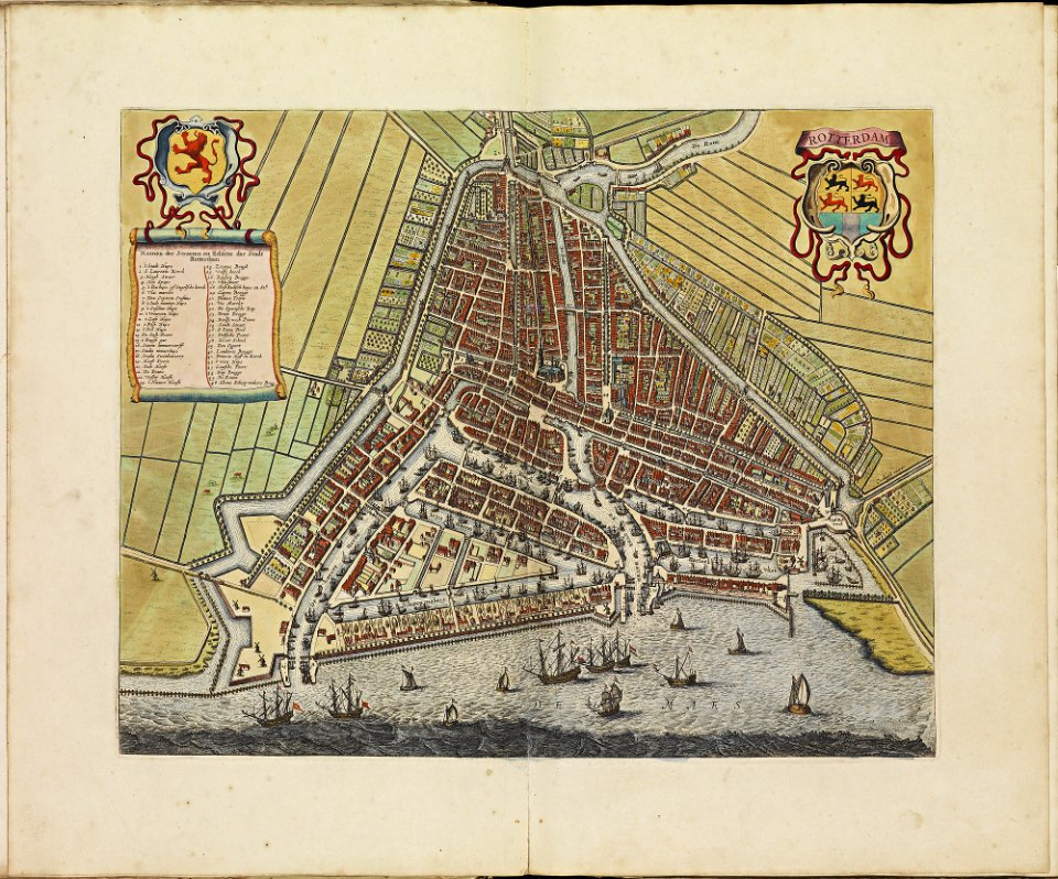
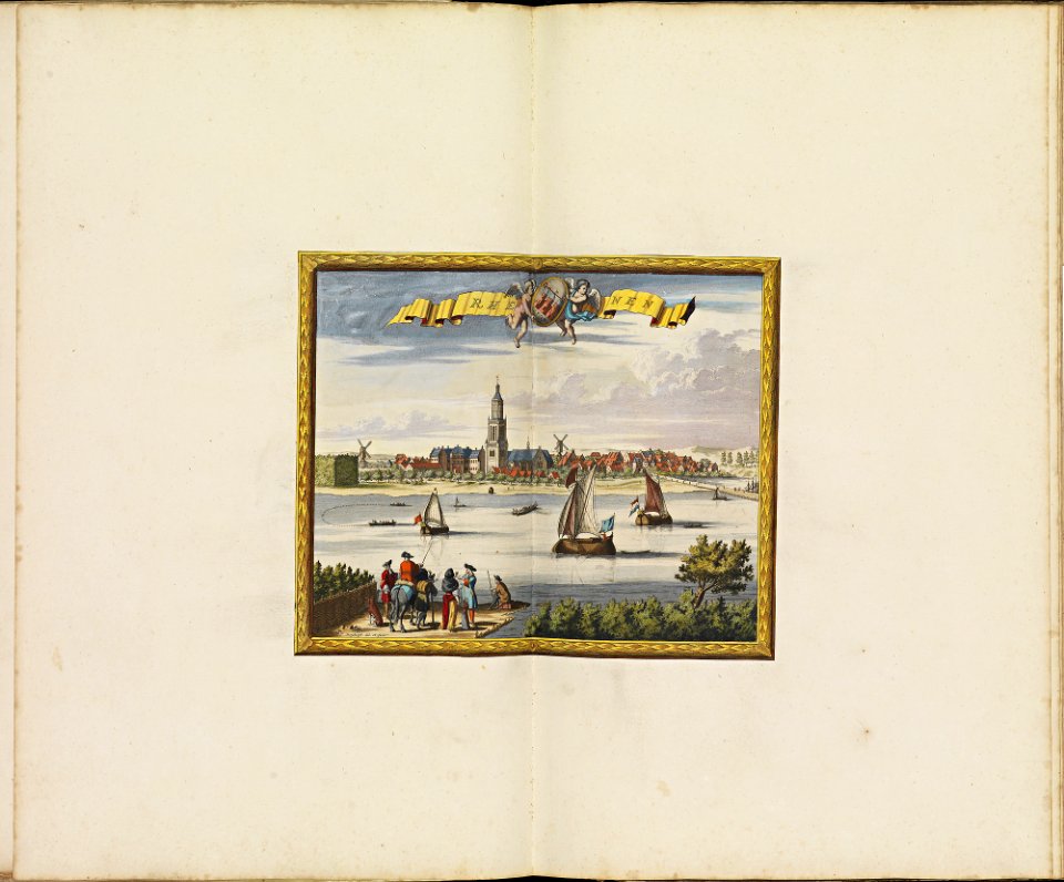
rotterdam in the 17th century
old maps of rotterdam
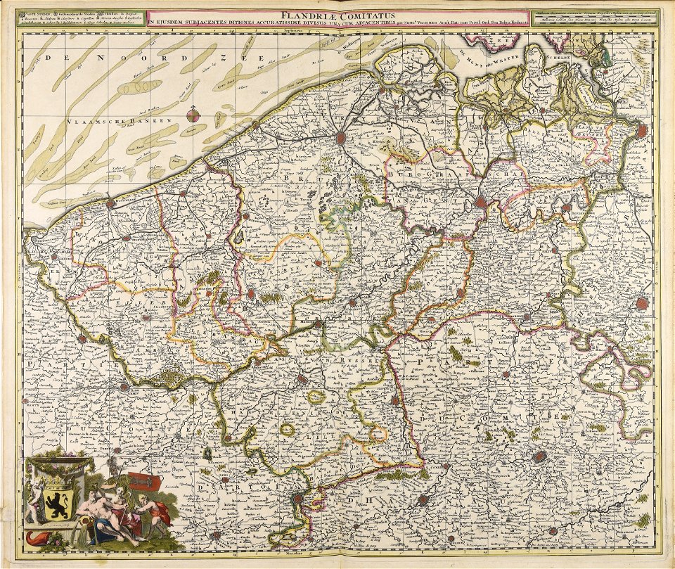
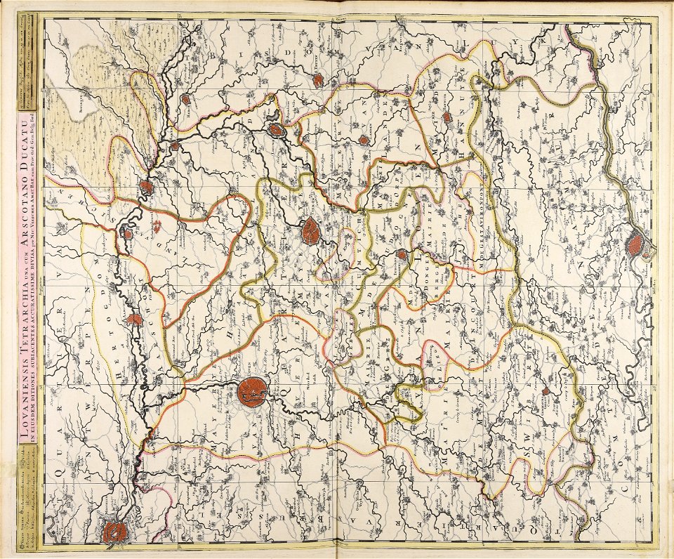
atlas de wit 1698
frederick de wit
atlas de wit 1698
frederick de wit
atlas de wit 1698
frederick de wit
atlas de wit 1698
frederick de wit
atlas de wit 1698
frederick de wit
atlas de wit 1698
frederick de wit
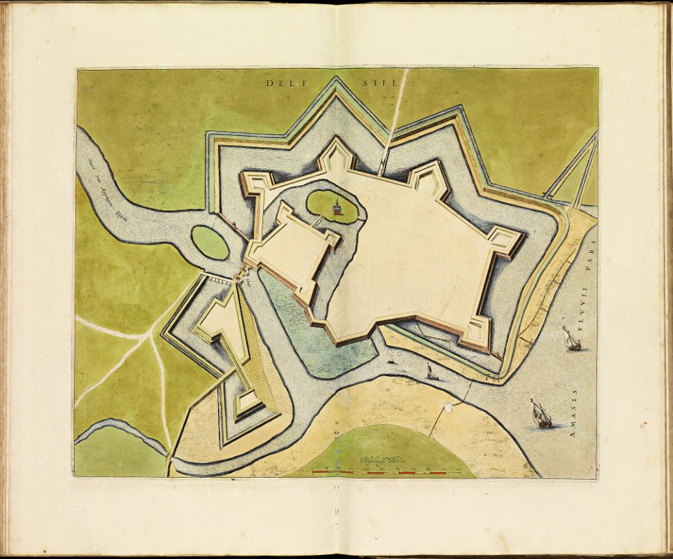
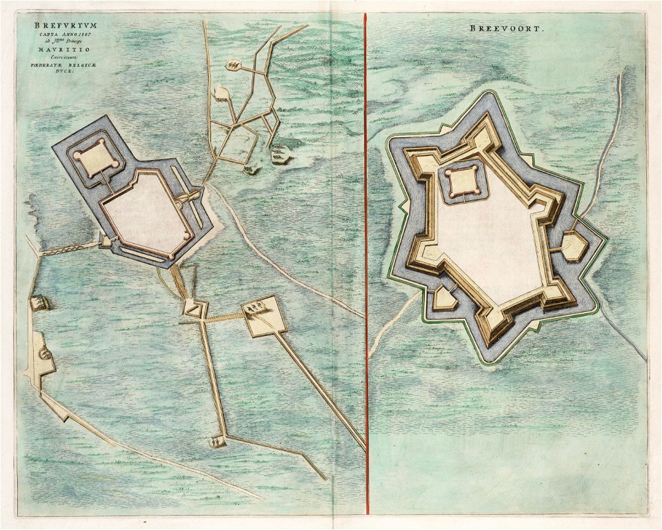
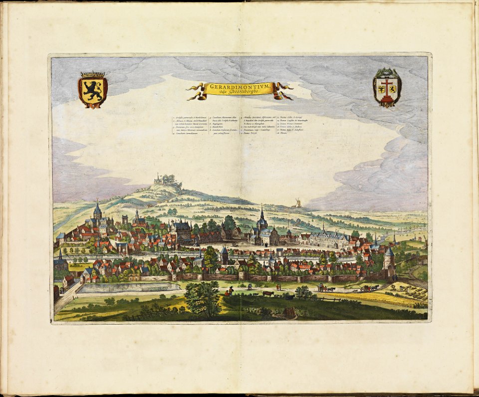
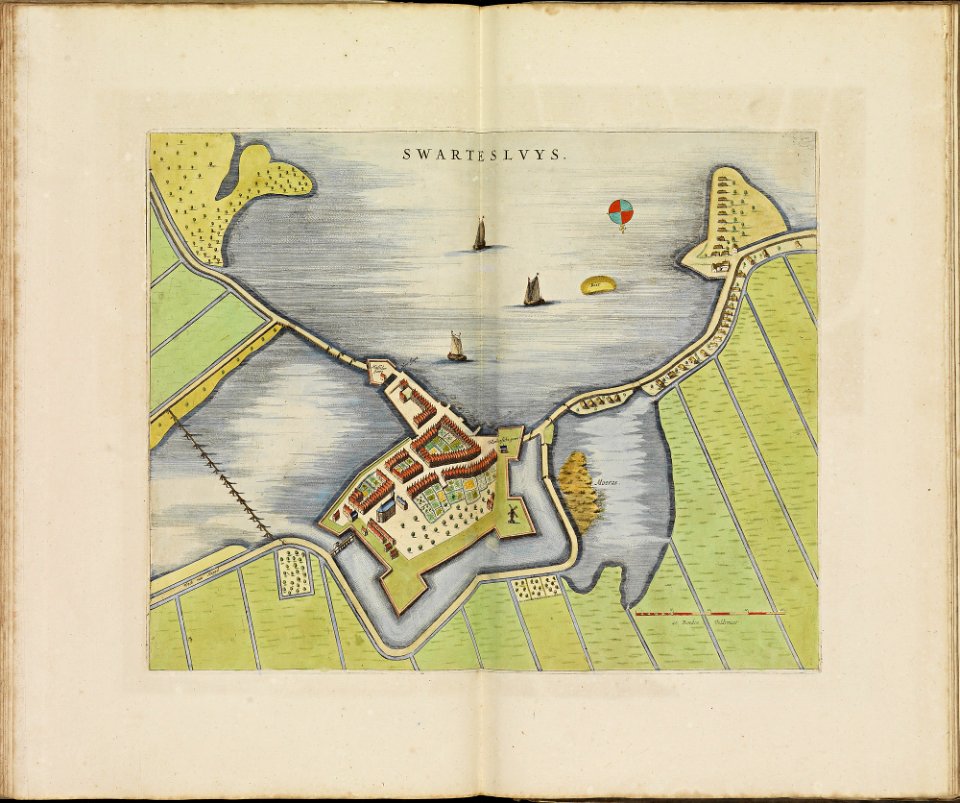
old maps of bredevoort
1597
buckinghamshire
old map
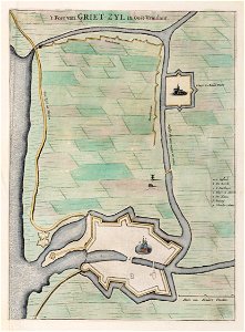
old maps of lower saxony
greetsiel
files from the bodleian libraries
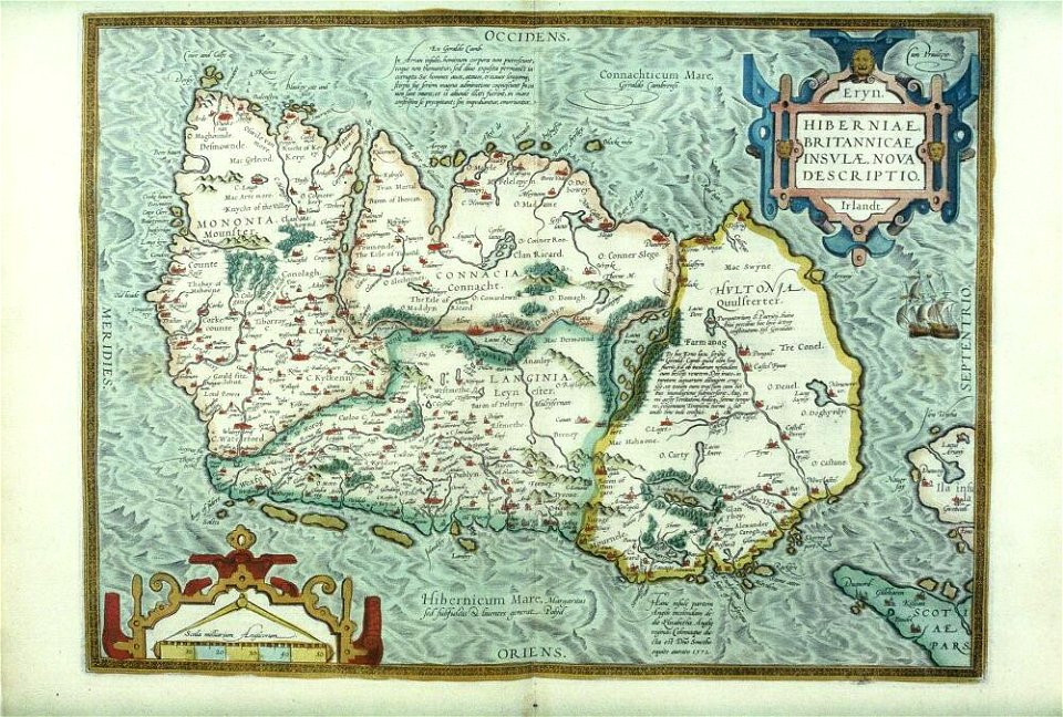
old maps of ireland
dutch–portuguese war
1665
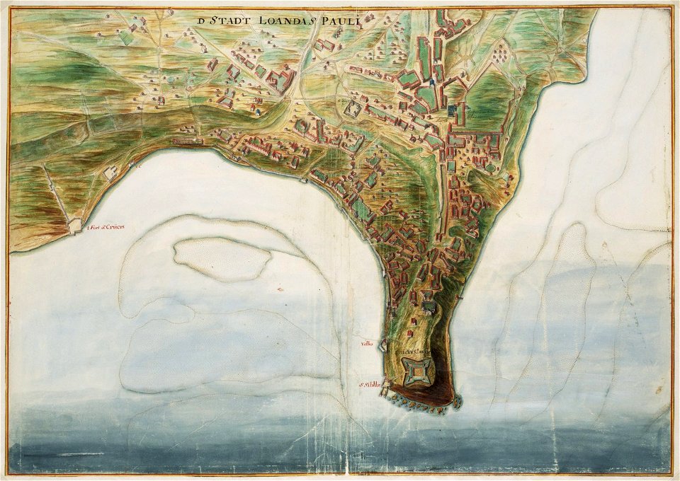
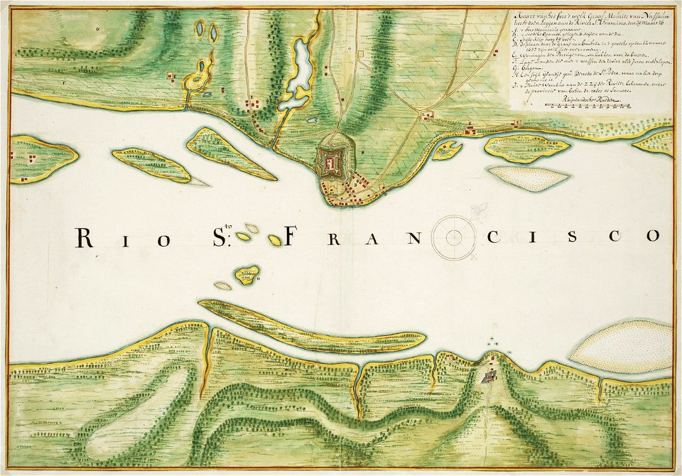
old maps of dutch brazil
johannes vingboons
alpstein
säntis
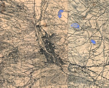
old maps of tbilisi
maps made in the 18th century
gerard valck
old maps of france
1730
atlas de wit 1698
frederick de wit
geographical illustrations by coronelli
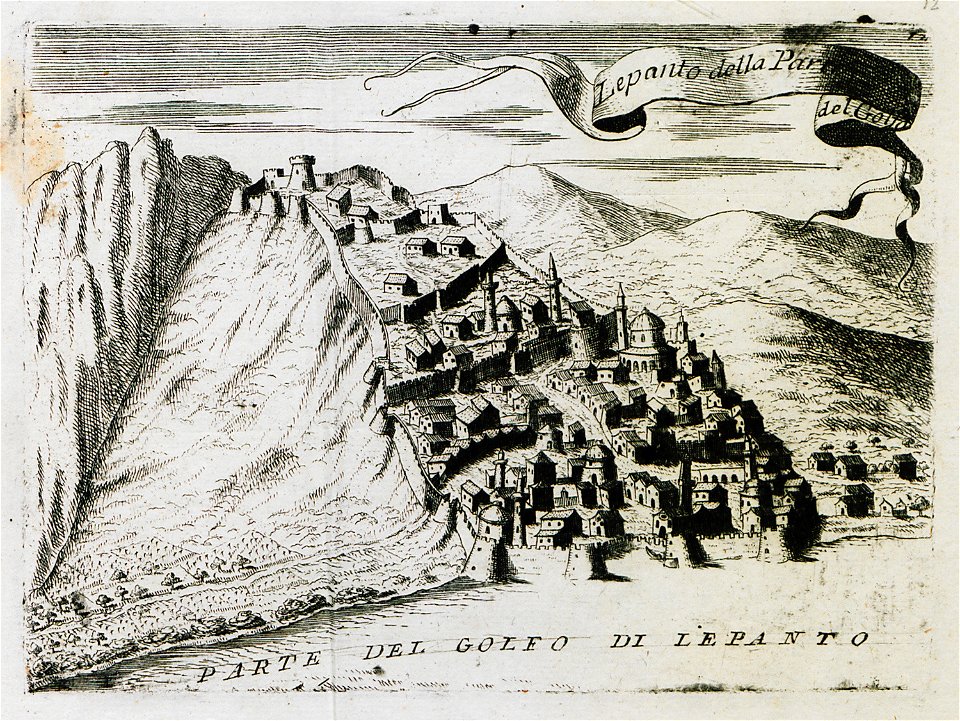
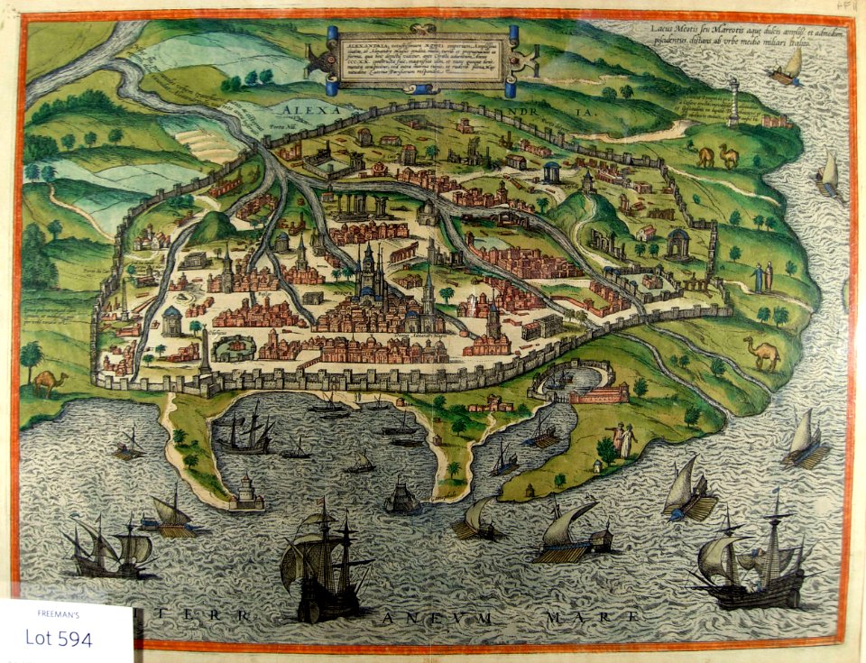
old maps of athens
old maps of piedmont
history of savoie
files from the bodleian libraries
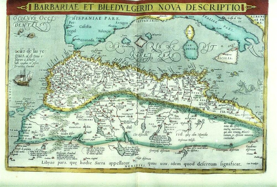
old maps of africa
prints from the peace palace library
old maps of the roman empire
geographical illustrations by coronelli
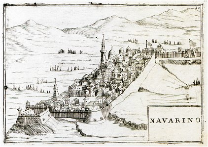
old maps of the peloponnese
atlas de wit 1698
frederick de wit
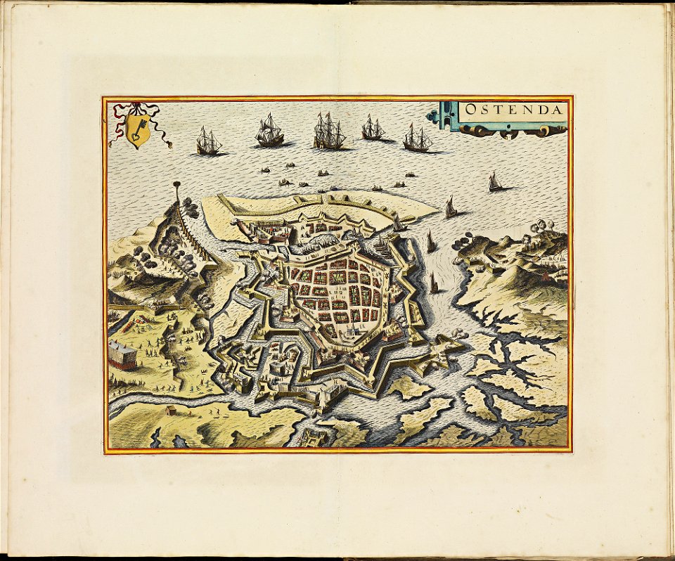
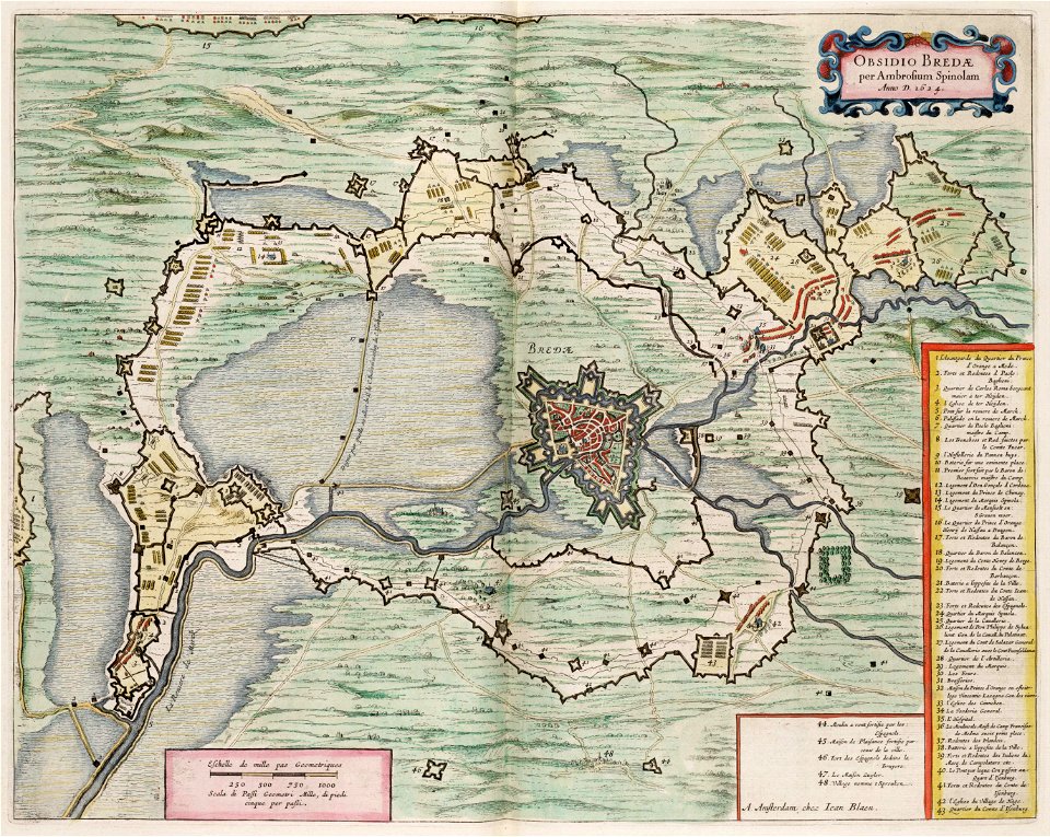
old maps of breda
frederick de wit
atlas de wit 1698
frederick de wit
dutch 17th-century prints in the rijksmuseum amsterdam
old maps of gelderland
prints from isaak tirion hedendaegsche historie at the peace palace library
old maps of south holland
maps made in the 18th century
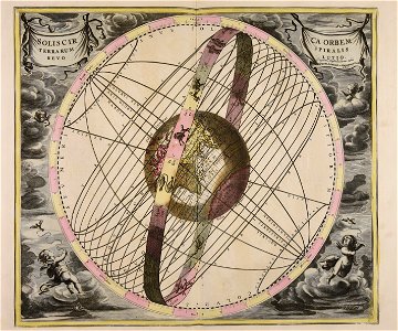
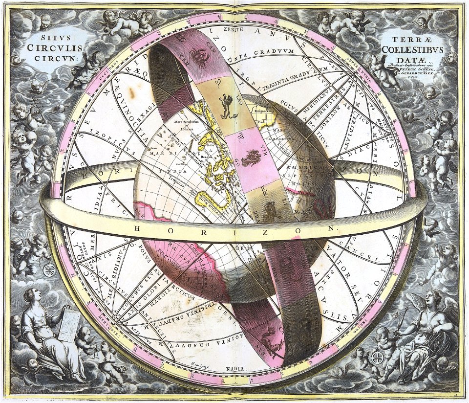
old celestial maps
maps by willem and johannes blaeu
circumvallation
atlas de wit 1698
frederick de wit
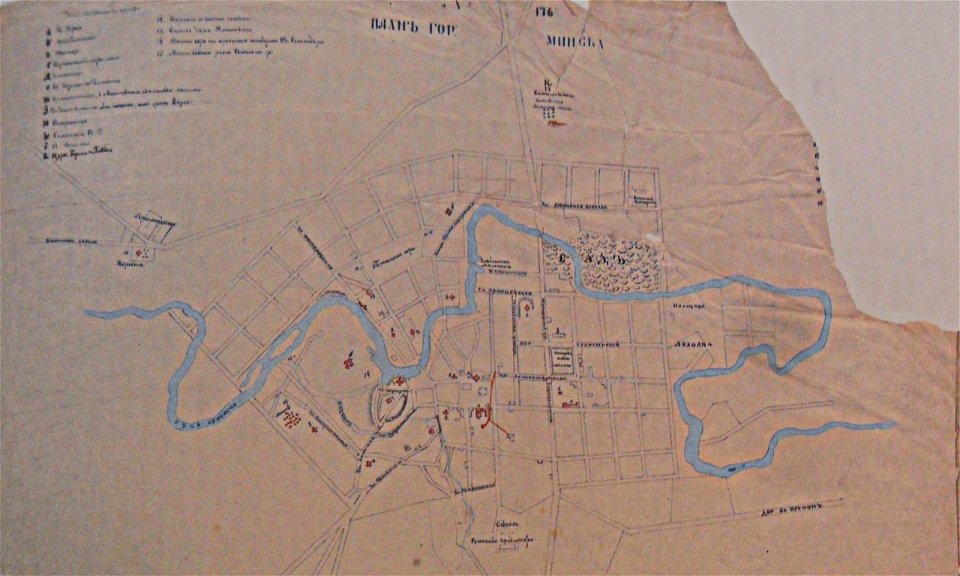
historical images of minsk
minsk in the 19th century
historical images of minsk
minsk
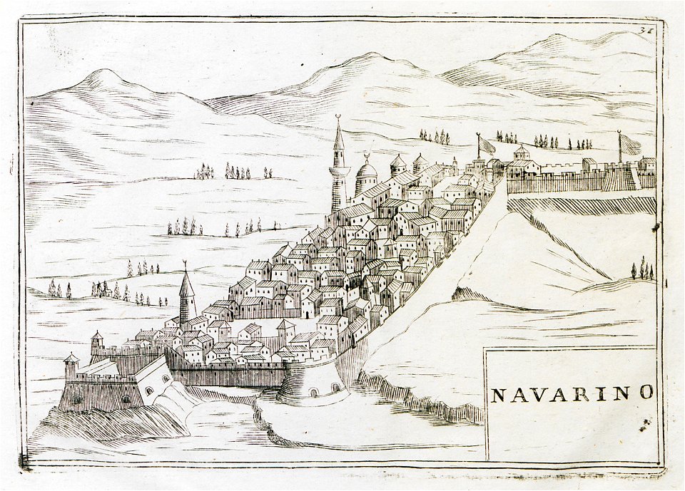
geographical illustrations by coronelli
old maps of the peloponnese
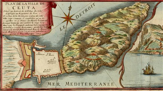
spain in the 1720s
nicolas de fer
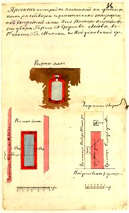
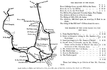
images from bristol past and present (1882)
clifton (bristol ward)
geographical illustrations by coronelli
3 fleurs-de-lis or in heraldry
atlas de wit 1698
frederick de wit
atlas de wit 1698
frederick de wit
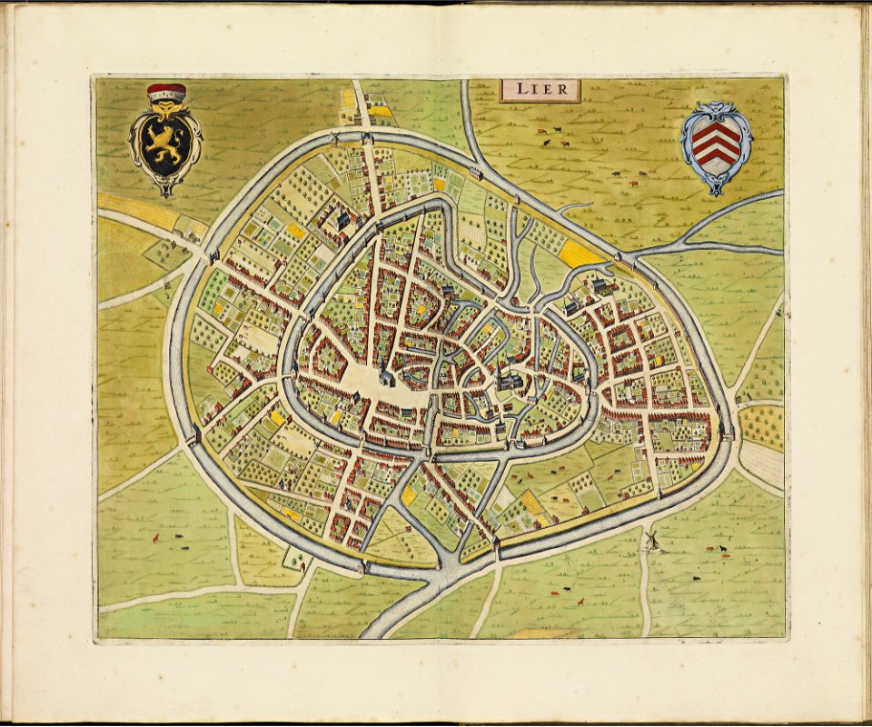
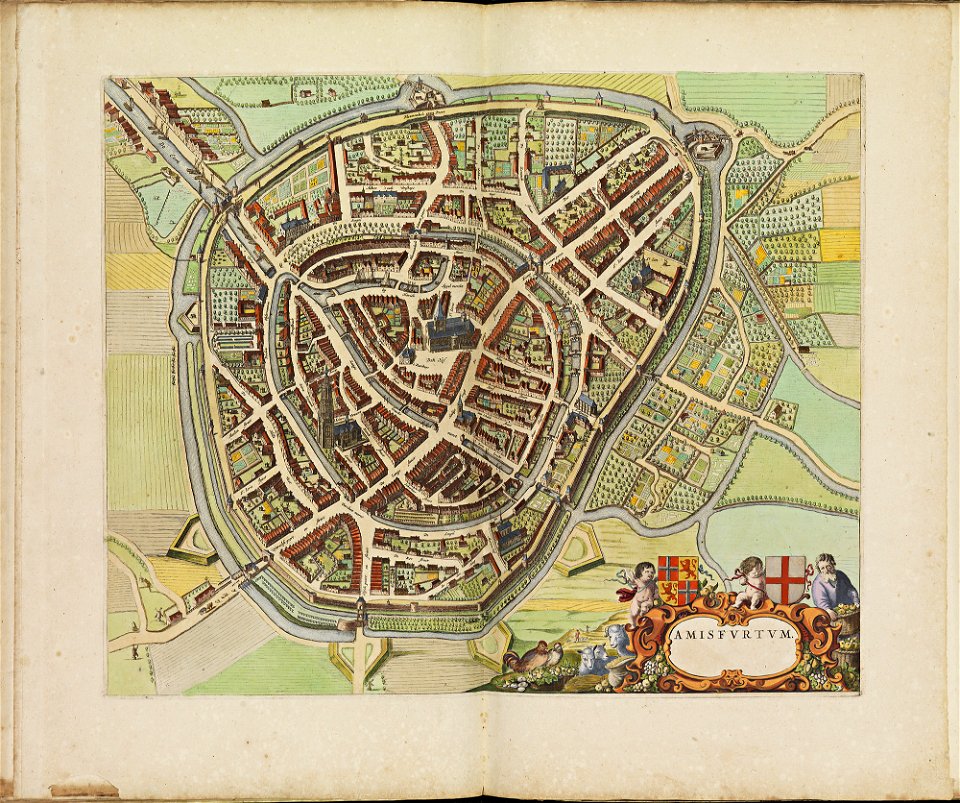
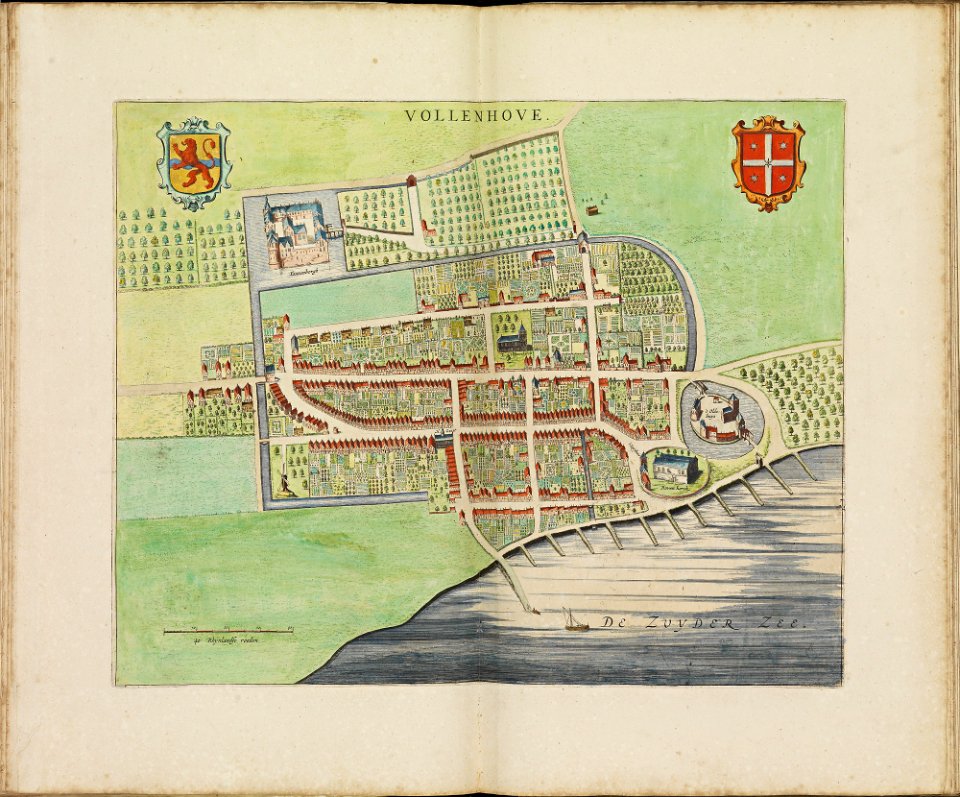
old maps of amersfoort
atlas de wit 1698
atlas de wit 1698
frederick de wit
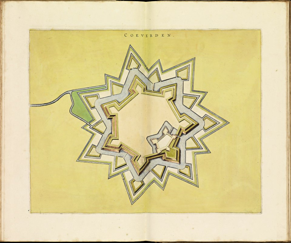
old maps of coevorden
frederick de wit
prints from dankaerts historis at the peace palace library
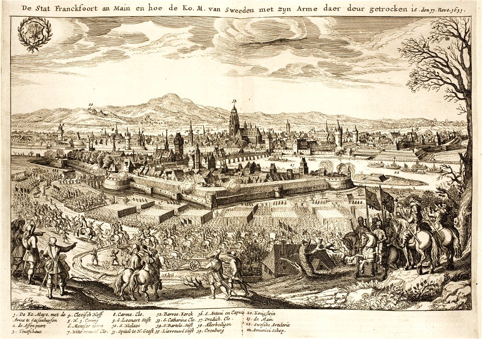
old maps of frankfurt am main
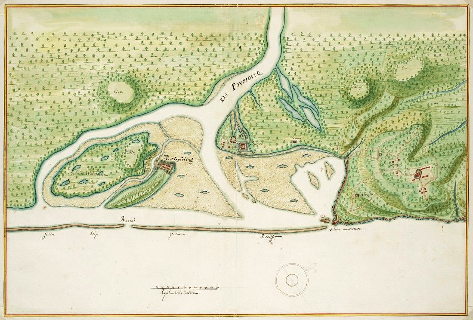
old maps of dutch brazil
johannes vingboons
snippets of philipp apian's bairische landtafeln
old maps of bavaria
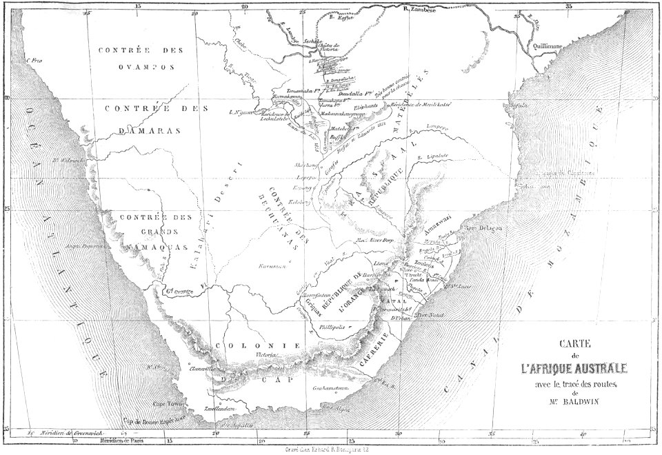
volume 8 of le tour du monde
old maps of south africa
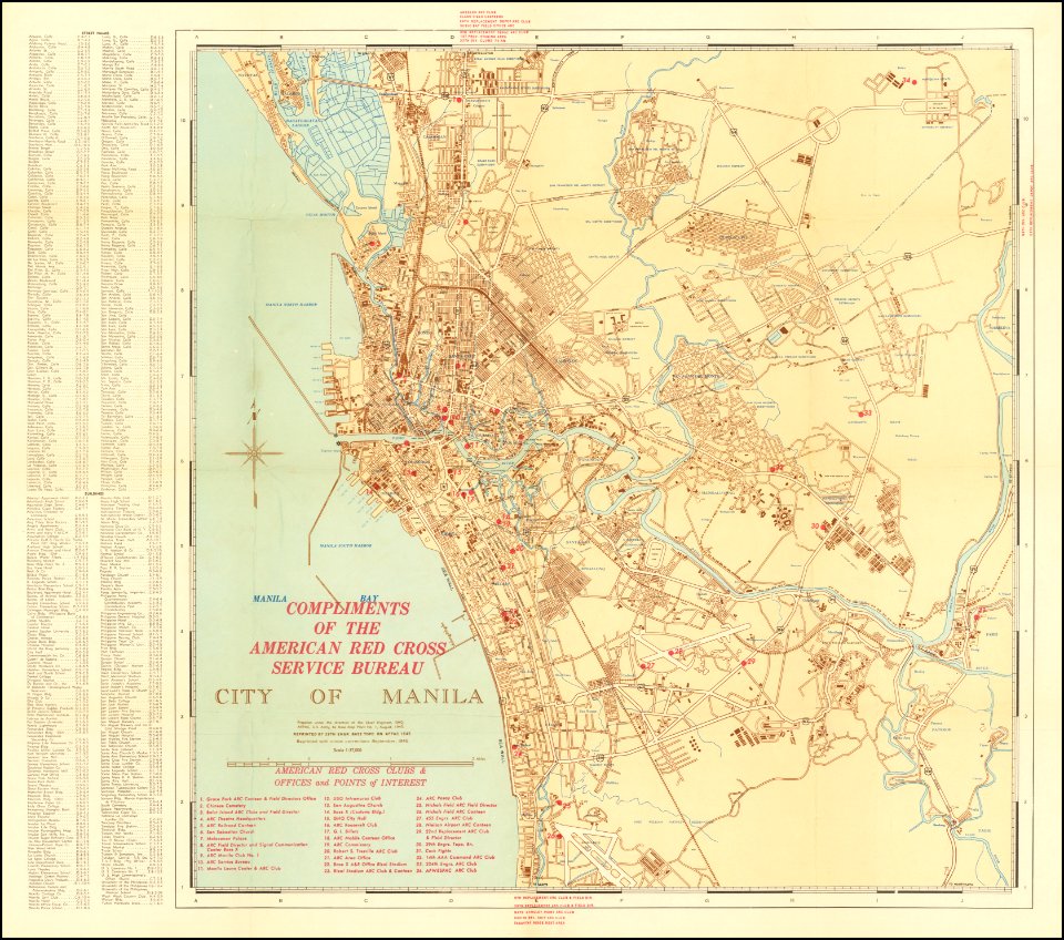
old maps of manila
1945 maps
medieval
maps
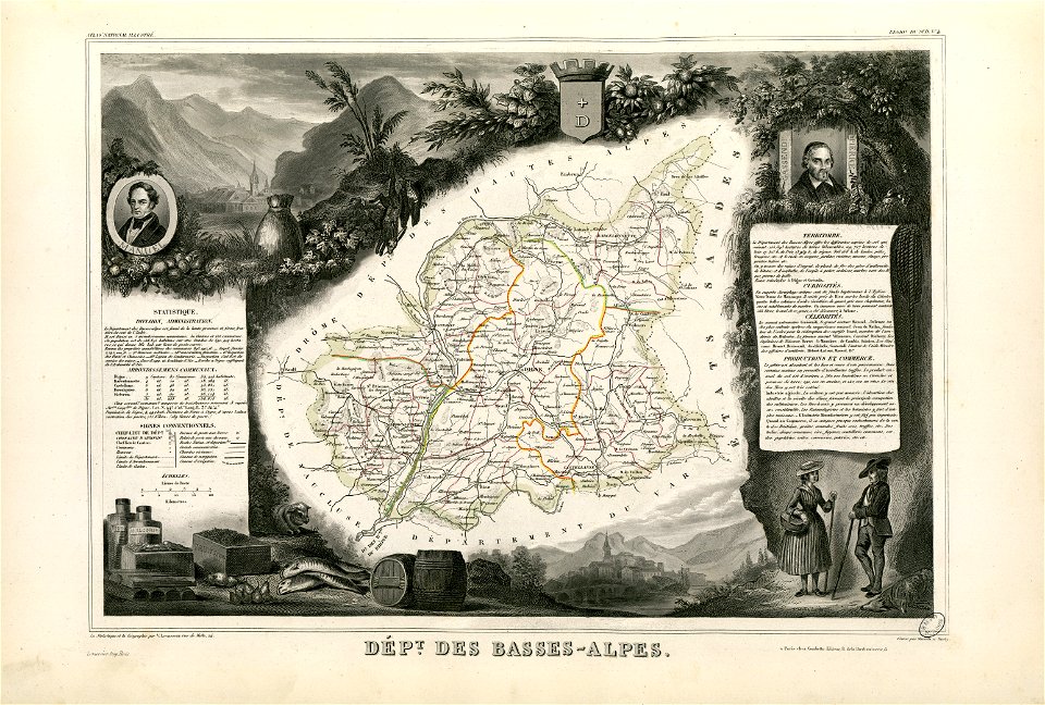
coats of arms of cities in alpes-de-haute-provence
pierre gassendi
jean françois paul de gondi de retz
jean-baptiste colbert
map collection of leibniz-institut für länderkunde
asie
johann baptist homann
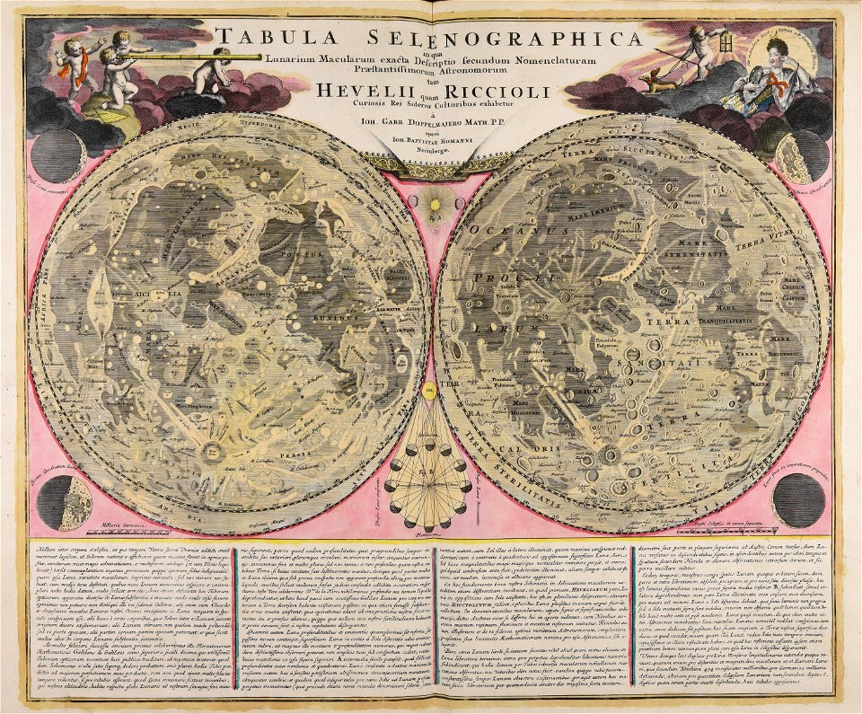
moon
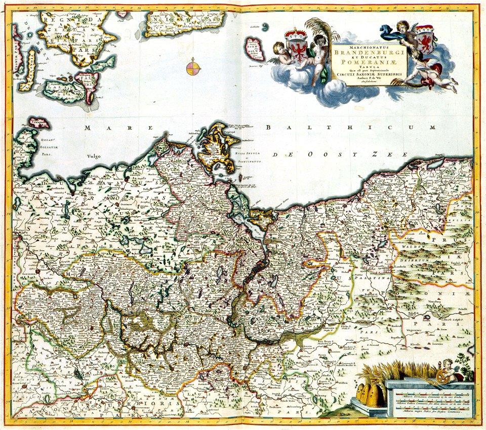
old maps of pomerania
maps with cartouches
maps with cartouches
atlas van der hagen
new jersey
hoboken
paris in the 16th century
lithographs of paris
architecture
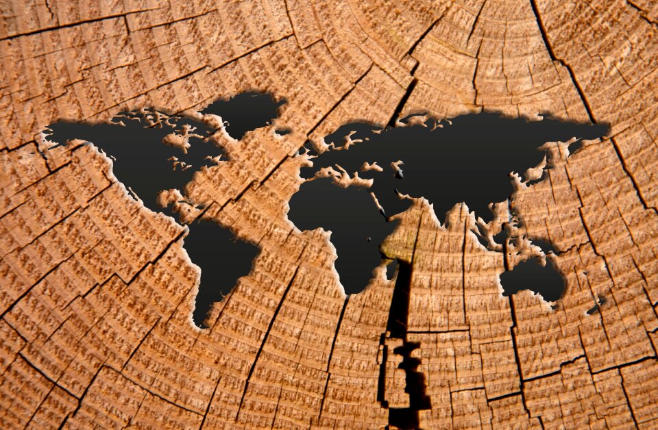
world map
maps with cartouches
atlas van der hagen
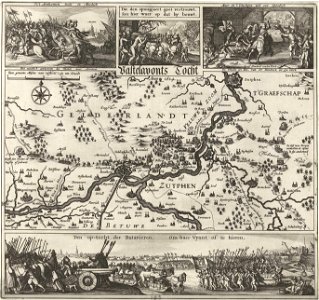
russo-turkish war (1877–1878)
old maps of europe
artworks with known accession number
artworks without wikidata item
new jersey
hoboken
maps made in the 17th century
nicolaes visscher ii
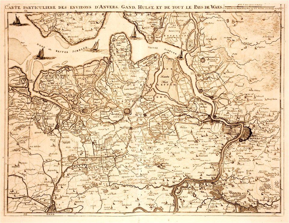
old maps of zeeland
western scheldt
gerard valck
moti
gerard valck
earth
earth
maps
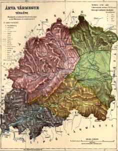
old maps of counties in the kingdom of hungary
orava
atlas van der hagen (volume 4)
maps with cartouches
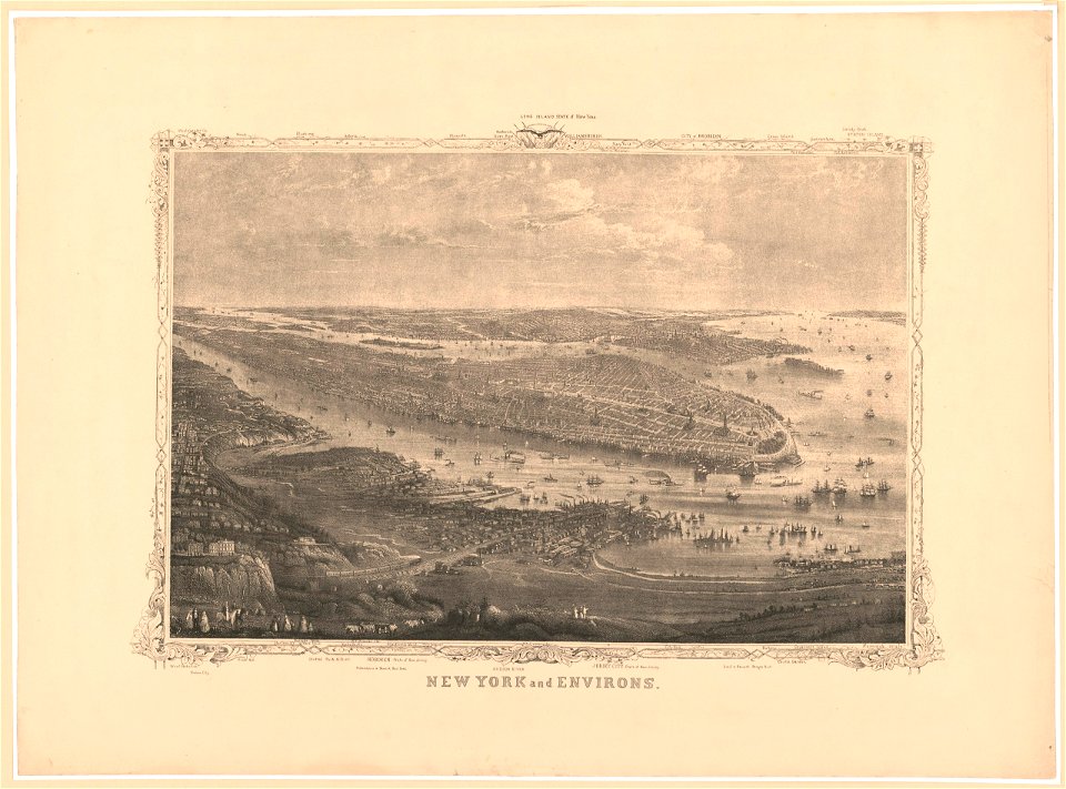
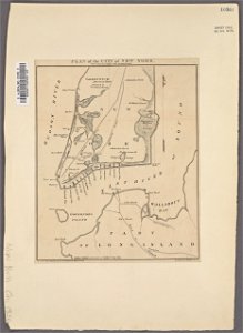
manual of the corporation of the city of new york (1856)
new york city
maps made in the 18th century
gerard valck
maps made in the 18th century
gerard valck
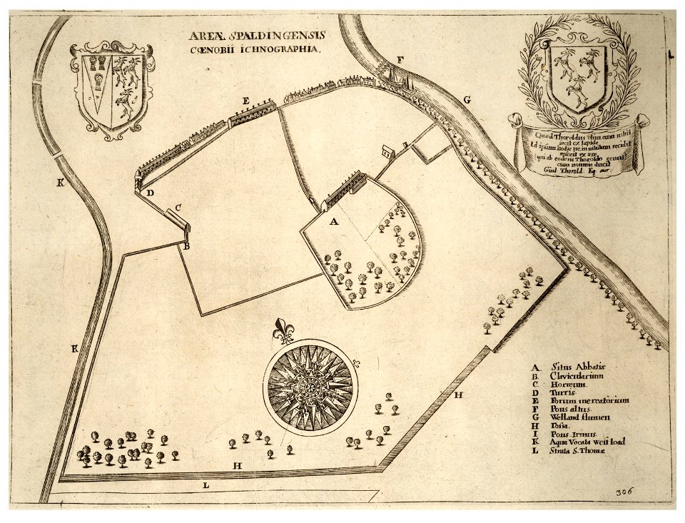
history of spalding
river welland
gerard valck
earth
maps made in the 17th century
nicolaes visscher ii
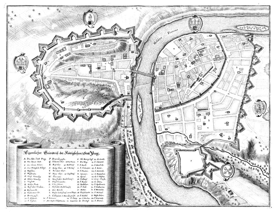
historical images of prague
old maps of prague
old maps of vienna
giovanni camocio
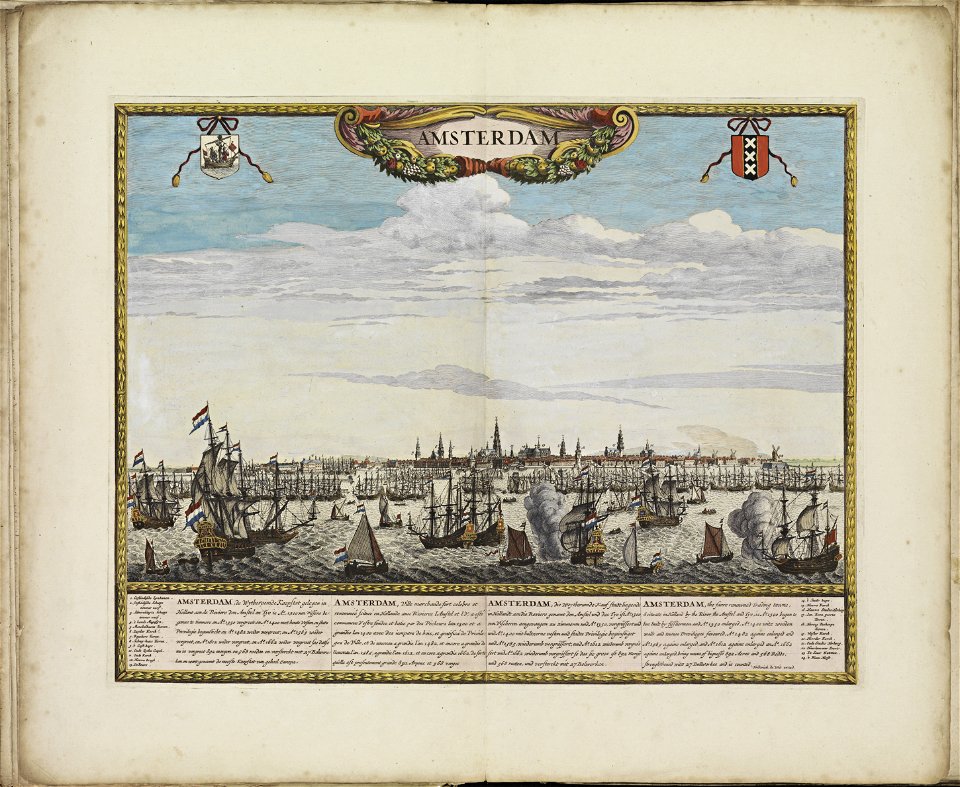
old maps of amsterdam
frederick de wit
images with rulers to indicate scale
atlas de wit 1698
description des principales villes (1690)
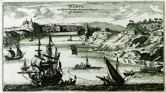
old maps of maharashtra
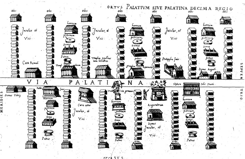
old maps of ancient rome (city)
16th-century engravings
historical images of minsk
old maps of minsk
kutepov's hunting - illustrations (volume 1)
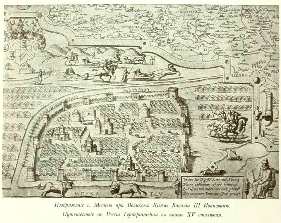
old maps of moscow
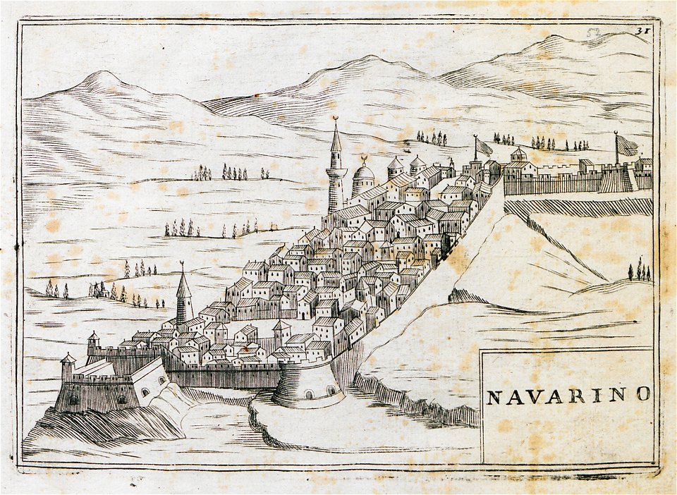
geographical illustrations by coronelli
old maps of the peloponnese
geographical illustrations by coronelli
old maps of the peloponnese
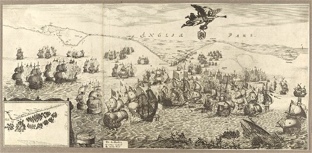
cornelis danckerts (i)
battle of the downs
4201 - 4300 of 11,660
Next page
/ 117